River deltas and their wetlands are drowning as a result of sea level rise and reduced sediment inputs. The Delta-X mission will determine which parts will survive and continue to grow, and which parts will be lost.
The Mississippi River Delta in the United States is growing and sinking in different areas.
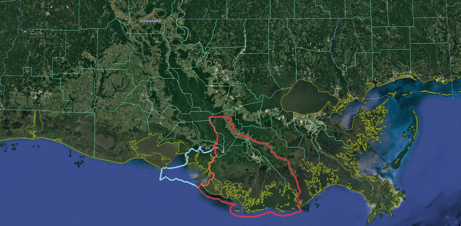
Delta-X studies the Atchafalaya Basin (blue on the left), which is growing, and the Terrebonne Basin (red on the right), which is sinking.
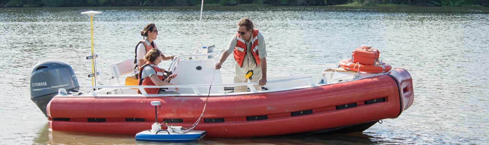
A field campaign is conducted to measure the flow of water, and the sediment it transports, across the region.
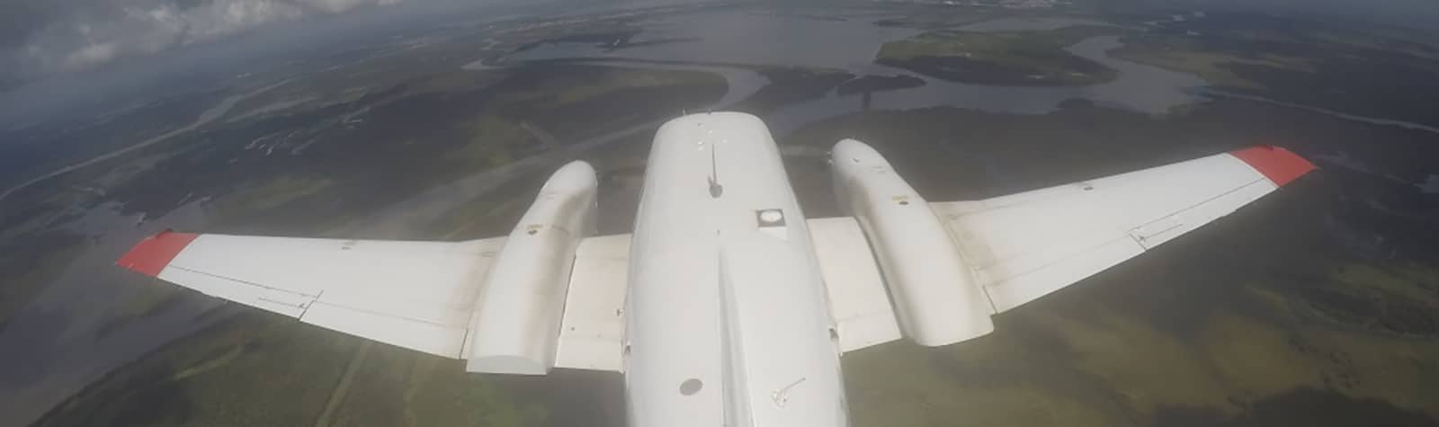
An airborne campaign takes large scale measurements to estimate water and sediment flows, and vegetation production.
These measurements calibrate hydrological and ecological models that scientists use to understand and forecast land gain or loss in deltas. The figure above illustrates sediment transport in the Wax Lake Delta.
Funded by the Earth Venture Suborbital (EVS-3) program, Delta-X's 5-year mission will operate from 2019–2023.