
< Publications
Final Data
These are the final datasets that were inputs for this paper:
Denbina, M., Simard, M., Rodriguez, E., Wu, X., Chen, A. and Pavelsky, T., 2019. Mapping water surface elevation and slope in the mississippi river delta using the AirSWOT Ka-Band interferometric synthetic aperture radar. Remote Sensing, 11(23), p.2739.
Paper (PDF)
|
DOI: 10.3390/rs11232739
INPUT DATASETS
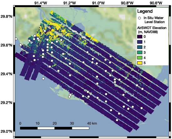
- Pre-Delta-X: L2 AirSWOT Water Surface Elevations, Atchafalaya Basin, LA, USA, 2016 | view dataset
- Pre-Delta-X: L3 AirSWOT-derived Water Level Profiles, Wax Lake Outlet, LA, USA, 2015 | view dataset
If you end up using this data, please cite Delta-X with this acknowledgement:
The NASA Delta-X project is funded by the Science Mission Directorate’s Earth Science Division through the Earth Venture Suborbital-3 Program NNH17ZDA001N-EVS3.
All Delta-X final datasets are accessible from the Data Download page.