
< Publications
Final Data
These are the final datasets that were inputs or were published in this paper:
Donatelli, C., Passalacqua, P., Jensen, D., Oliver-Cabrera, T., Jones, C.E. and Fagherazzi, S., 2023. Spatial Variability in Salt Marsh Drainage Controlled by Small Scale Topography. Journal of Geophysical Research. Earth Surface, 128(11), p.e2023JF007219.
DOI: 10.1029/2023JF007219
INPUT DATASETS
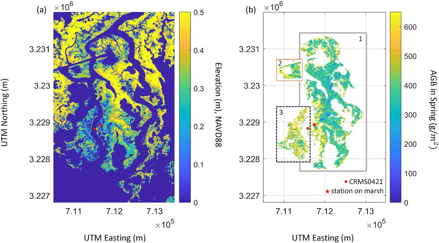
- Delta-X: Digital Elevation Model, MRD, LA, USA, 2021 | view dataset
- Delta-X: AVIRIS-NG L3 Derived Aboveground Biomass, MRD, Louisiana, USA, 2021 | view dataset
- Delta-X: UAVSAR L3 Water Level Changes, MRD, Louisiana, 2021 | view dataset
- Delta-X: AVIRIS-NG BRDF-Adjusted Surface Reflectance, MRD, LA, 2021 | view dataset
- Pre-Delta-X: AVIRIS-derived Total Suspended Solids Maps for MRD, LA, USA, 2015-2016 | view dataset
If you end up using this data, please cite Delta-X with this acknowledgement:
The NASA Delta-X project is funded by the Science Mission Directorate’s Earth Science Division through the Earth Venture Suborbital-3 Program NNH17ZDA001N-EVS3.
All Delta-X final datasets are accessible from the Data Download page.