
< Publications
Final Data
These are the final datasets that were inputs or were published in this paper:
Cortese, L., Donatelli, C., Zhang, X., Nghiem, J.A., Simard, M., Jones, C.E., Denbina, M., Fichot, C.G., Harringmeyer, J.P. and Fagherazzi, S., 2023. Coupling numerical models of deltaic wetlands with AirSWOT, UAVSAR, and AVIRIS-NG remote sensing data. Biogeosciences Discussions, 2023, pp.1-28.
DOI: 10.5194/bg-21-241-2024
INPUT DATASETS
- Pre-Delta-X: Channel Bathymetry of the Atchafalaya Basin, LA, USA, 2016 | view dataset
- Delta-X: AirSWOT L2 Geocoded Water Surface Elevation, MRD, Louisiana, 2021 | view dataset
- Delta-X: In Situ Water Surface Reflectance across MRD, LA, USA, 2021 | view dataset
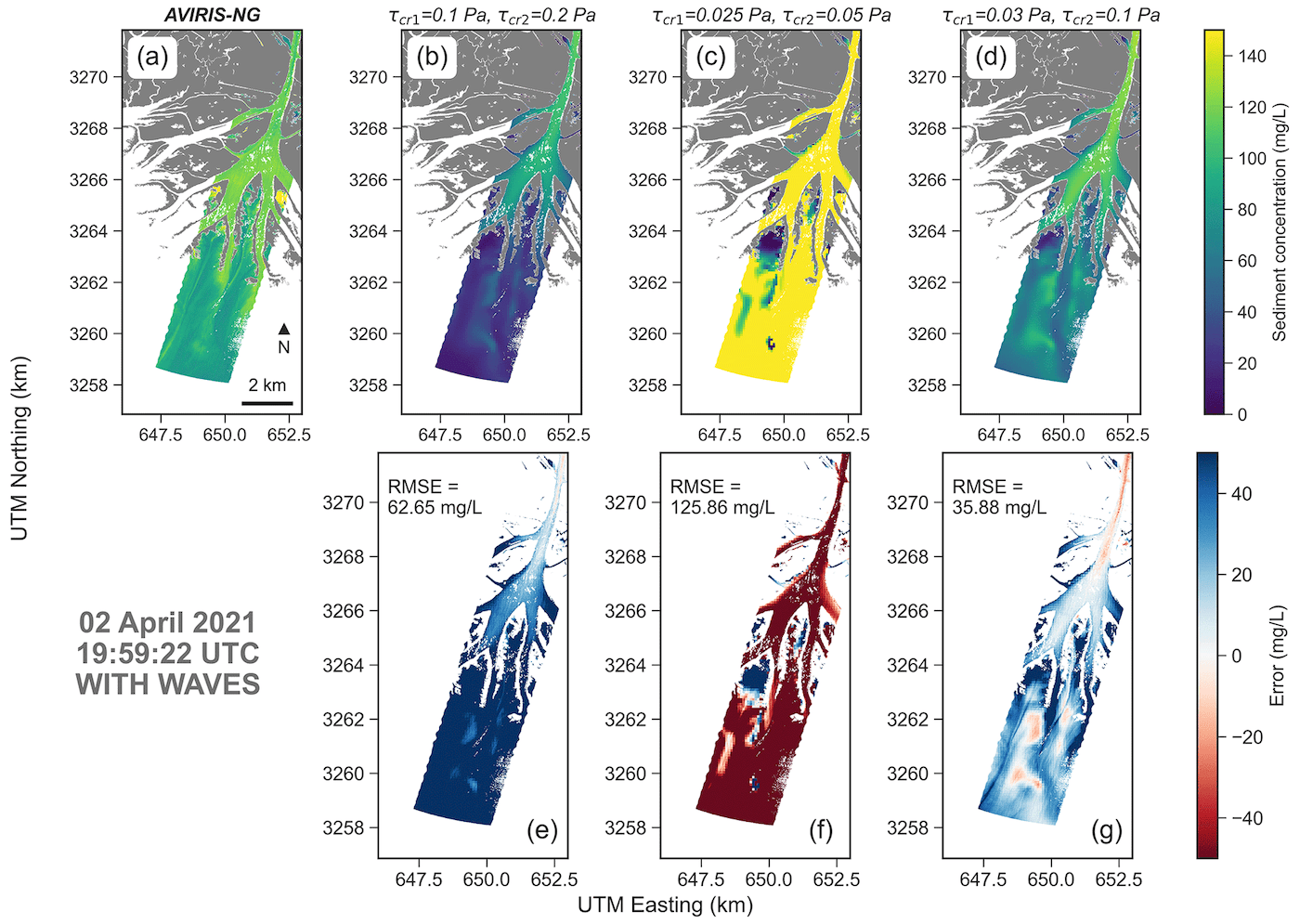
- Delta-X: AVIRIS-NG L3-derived Water Quality, TSS, and Turbidity, MRD, LA 2021 | view dataset
- Delta-X: Total Suspended Solids Concentration across MRD, LA, USA, 2021 | view dataset
- Delta-X: UAVSAR L3 Water Level Changes, MRD, Louisiana, 2021 | view dataset
- Delta-X: Real-Time Kinematic Elevation Measurements for Coastal Wetlands, LA, 2021 | view dataset
If you end up using this data, please cite Delta-X with this acknowledgement:
The NASA Delta-X project is funded by the Science Mission Directorate’s Earth Science Division through the Earth Venture Suborbital-3 Program NNH17ZDA001N-EVS3.
All Delta-X final datasets are accessible from the Data Download page.