
< Blog
September 7, 2021
Done with Terrebonne East flights!
By Marc Simard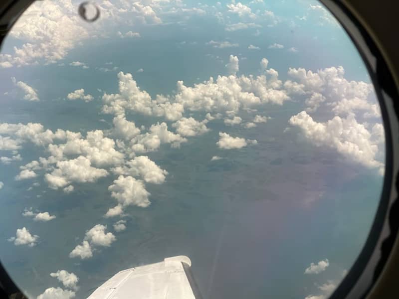 AirSWOT’s view. Photo credit: JPL’s Peter Wu
Yesterday was a planned ‘hard down day’ for flight crew to rest and today was another lucky day. Indeed, we did not expect good weather today, but somehow the storms cleared up on time for Delta-X. AirSWOT and UAVSAR flew simultaneously over the eastern edge of the Terrebonne basin to capture river and wetland flows as tide reached its peak. AirSWOT collected its flight pattern 3 times measuring large scale water surface slopes while UAVSAR performed 8 laps around its planned racetrack recording changes in water level in wetlands as tide reached its highest water mark. UAVSAR collected an additional line over oil spills that ensued hurricane Ida.
AirSWOT and UAVSAR flying together
We are now done with the Terrebonne East flights (1 out of 3 Delta-X regions)!