
< Blog
March 26, 2021
AirSWOT takes flight!
By Marc SimardToday was a great day for Delta-X and tomorrow shall be a fantastic day.
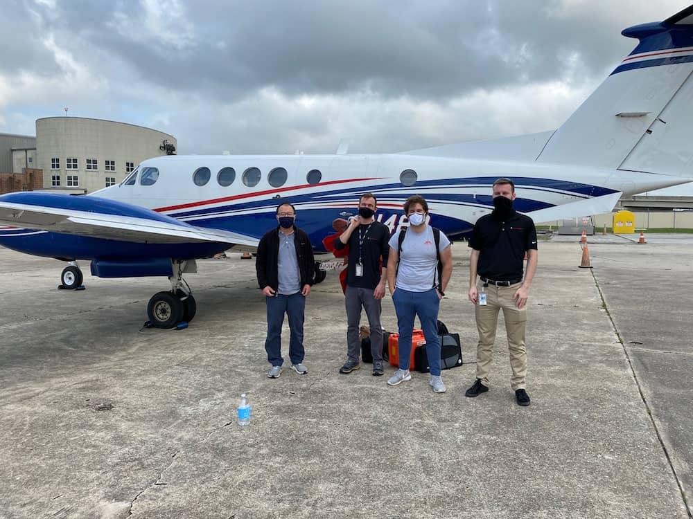 The AirSWOT crew
We had the first Delta-X science flight with AirSWOT after its recent instrument upgrade. The AirSWOT operators, Peter Wu and Jack Bush, successfully collect the planned itinerary:
- There were 7 flight lines covering the Atchafalaya basin.
- AirSWOT repeated the 7 lines pattern, 3 times and added an extra line. AirSWOT flew 22 lines total.
AirSWOT had a test flight covering the Chesapeake Bay in Virginia before transiting to Louisiana. Thanks to Roger Chao, Peter Wu and Michael Denbina for successfully bringing AirSWOT back to life after its intense surgery. Michael processed the data today and it works!
Meanwhile, our field teams made a lot of progress on the ground.
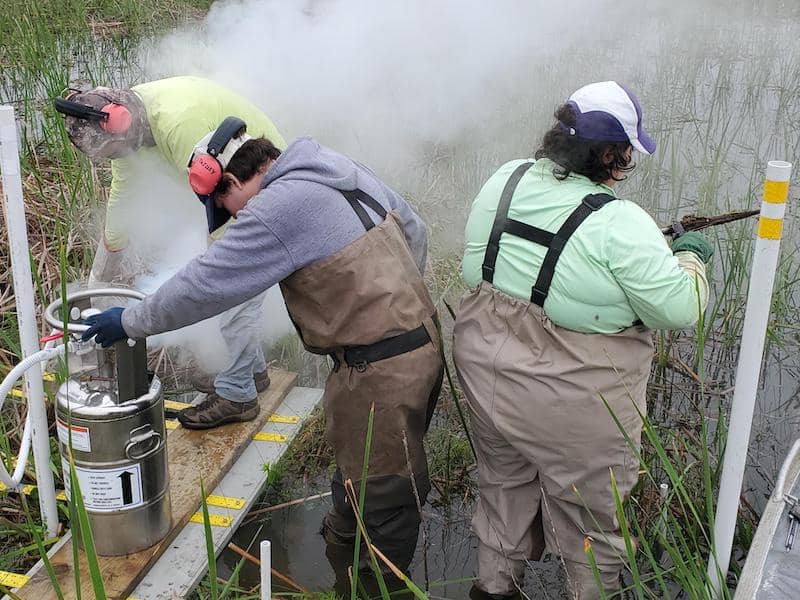 The Vegetation Team uses nitrogen to help extract feldspar cores
The Vegetation Team finished sampling vegetation, soil cores and RTK transects, and installed 2 water level gauges at Delta-X Intensive Site 294.Amanda Fontenot and Andre Rovai extracted the feldspar cores to measure the amount of soil accretion since October 2019.
The Channel Team led by Cedric Fichot (Boston U.) surveyed the Intra Coastal Waterway and the Atchafalaya River to collect water samples and vertical profile of spectrum down the water column to characterize sediment characteristics as a function of depth.
Bill Gibson (LSU) collected 18 ADCP transects along the Intra Coastal Waterway and the Atchafalaya River, some coincident with the measurement of water quality collected by Cedric’s team. The transect pattern was repeated twice to monitor changes in river discharge to match with AirSWOT flights and validate hydrodynamic models.
The Island Team (Mike Lamb, Gerard Salter, Gen Li and Justin Nghiem) had a long day at Wax Lake’s Mike Island:
- They extracted soil cores across Mike Island’s levee
- They collected bottom sediments in the river bed.
- On the island itself, they installed: 3 tripods for water turbidity measurements within the island using an airboat to access sites, and 3 water level gauges within Mike Island’s wetlands.
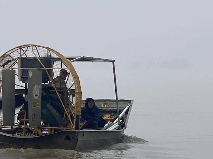 The Island Team's airboat
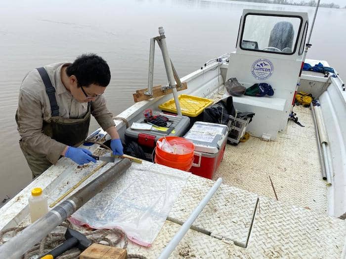 Gen Li measures a soil core
It is worth noting that the water level gauges being installed by the Vegetation Team and the Island Team are located within the wetlands of the 7 Delta-X intensive sites. Those wetland gauges are used to calibrate UAVSAR measurements of water level change within the wetlands. This is unlike the other gauges that were installed in the channels a couple weeks ago that are used to calibrate AirSWOT. Most importantly, both sets of gauges will provide a long-term time-series (~9 months) of cal/val data for the hydrodynamic model. The radar interpolates across the landscape.