
< Blog
April 1, 2021
Fantastic!
By Marc SimardAll Delta-X airborne instruments flew simultaneously today—AirSWOT, UAVSAR and AVIRIS-NG.
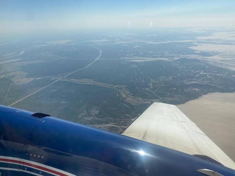 AVIRIS flies over the Atchafalaya Basin
The two radar instruments measure the hydrology of the system via changes in water surface elevation, thus estimating the flow of water across the landscape.
On the other hand, AVIRIS-NG has 2 purposes: first, it tells us what is in that flowing water and second, where are the plants that contribute resistance to flow and also organic material to soil.
These complementary radar and spectroscopic measurements provide a basis to evaluate, through models calibrated with in situ and these remote sensing measurements, where those transported sediment get deposited and how much plants contribute to elevation.
AirSWOT’s Jack Bush completed another Atchafalaya Basin flight plan today and collected 22 data lines successfully. Total line counts 74 with 11.18 TB of data so far.
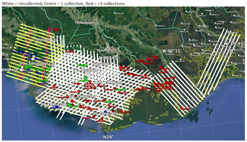 AVIRIS-NG coverage, as of April 1, 2021
AVIRIS-NG’s John Chapman and Luis Rios successfully acquired data along the priority water quality lines over the Atchafalaya and Wax Lake Outlet.
- These data were coincident with in situ measurements of water quality by Delta-X Water Quality and Island Teams.
- AVIRIS-NG also successfully completed acquisition of all 18 Atchafalaya Basin vegetation lines.
UAVSAR’s Tim Miller successfully acquired 16 of 18 planned flight lines, missing two 06309 data takes because of Automatic Radar Controller crashes. Yaw were over +/- 10 degrees due to the 100 knots winds aloft, but PPA (Platform Precision Autopilot) had excellent performance staying within the 10 m tube.
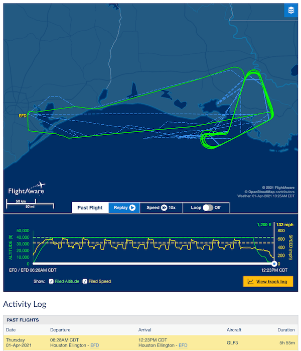 UAVSAR flight track from FlightAware
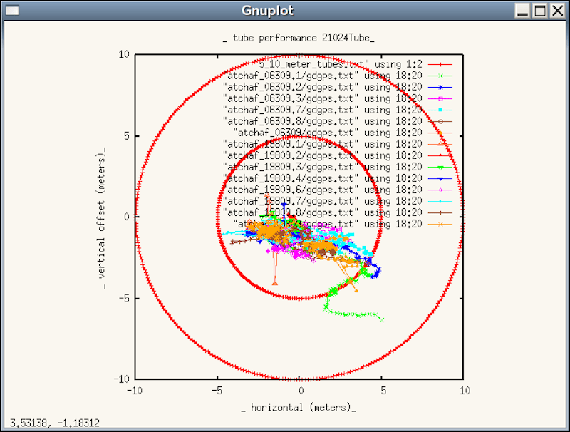 Bullseye plot showing the vertical and horizontal flight track deviations of all the data takes from the planned track
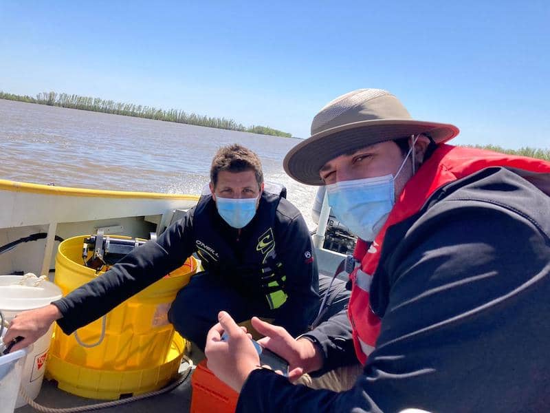 BU’s Cedric Fichot and Josh Harringmeyer against clear blue skies perfect for AVIRIS
The Islands Team continued their work on Mike Island and also collected coincident water profiles during the AVIRIS-NG overflight.
The Water Quality Team collected water samples and vertical turbidity profiles within the water column of the Wax Lake Outlet.