< Blog
August 18, 2021
First AVIRIS flight!
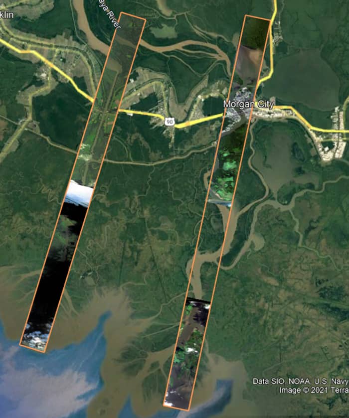
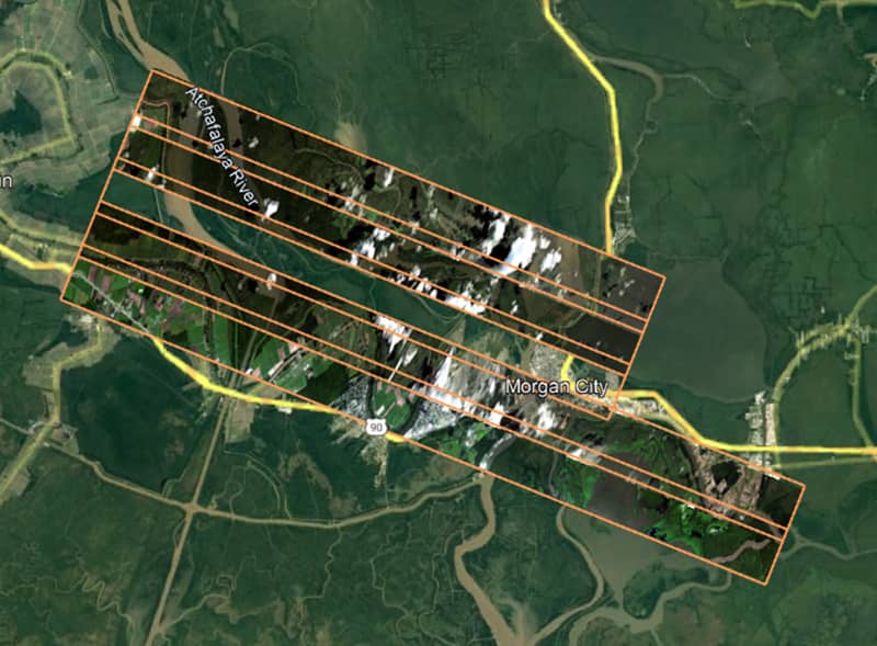
By Marc SimardToday, AVIRIS-NG had its first flight of the fall campaign. As a reminder, the fall campaign is meant to capture the hydrodynamics and vegetation patterns of the region while the Mississippi River discharge is near its lowest point and when vegetation has reached its peak biomass. Delta-X already captured the highest annual river discharge when herbaceous vegetation is just starting to grow in the Spring.
 Water quality AVIRIS-NG quick-look images from Spring 2021
 Vegetation AVIRIS-NG quick-look images from Spring 2021
In the next few months, we’ll be processing these data to obtain full spectra of the land surface every ~5 meters. We will be collecting the Delta-X Water Quality lines again during this campaign to obtain coincidence with more in situ field measurements.
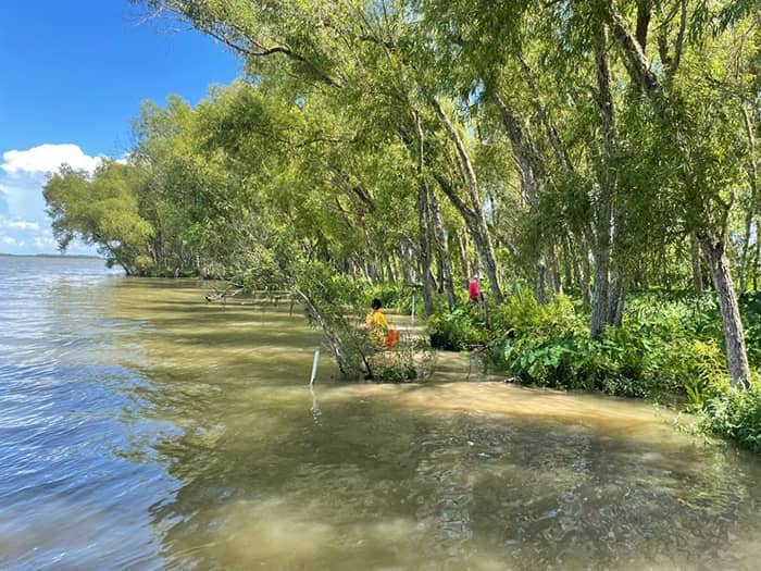
While these flights happened, teams on the ground were busy. The Island Team finalized the installation of its 4 in situ stations on Mike Island East and West. These stations will make nearly continuous measurements of water turbidity during the campaign. The team also collected bed samples to characterize grain size distribution.
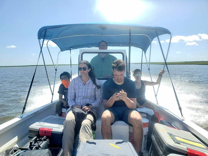
 Caltech and U. Texas teams on the boat
 Island team installing in situ station on Mike Island
The Water Quality (Boston U.) team collected reflectance data and bottle samples around the Wax Lake Delta, some coordinated with the Island Team and AVIRIS-NG. JPL’s ADCP team were also on the water collecting ADCP data along the intracoastal waterway (ICWW) from the Atchafalaya River to the Wax Lake outlet. How much water do you think flows parallel to the sea, along the ICWW?
U. North Carolina’s ADCP team arrived today and will join us on the water on Friday. The Vegetation Team (FIU+LSU) will be on Mike Island, located in the Wax Lake Delta, tomorrow. The JPL team will collect in situ field spectrum with them, verify water level gauges are working before radar flights starting Saturday. JPL will also collect more ADCP transects along the Wax Lake Outlet.

