
< Blog
August 22, 2021
Catching sediment in the water
By Marc SimardAirSWOT and AVIRIS-NG flew today, both performing flight pirouettes across the skies of the Atchafalaya basin.
AirSWOT again measured water surface elevation 3 times along 7 different imaging tracks as 3 Delta-X field teams simultaneously recorded river discharge. AVIRIS-NG completed its data collection over the Atchafalaya Basin collecting a few water quality lines over the Wax Lake Outlet and the Atchafalaya River, and collecting the remaining vegetation lines.
 Quick-look AVIRIS-NG image from today's flight over the Wax Lake Outlet (click to see full-res)
While the Water Quality lines were designed to optimize coverage over a specific channel or site, the vegetation lines provide large scale imagery to map the spatial distribution of plant species and biomass across the basin.
The Island and the Water Quality teams were on the water early this morning to be on site for AVIRIS-NG’s flight over Mike Island. The Island team collected vertical sediment profiles as AVIRIS-NG flew over the island and spent most of the day conducting ADCP transects up and down Greg Pass, just East of Mike Island. A very long but successful day for Team U.Texas/Caltech.
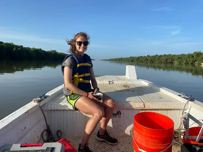 Madison Douglas on the way to Mike Island
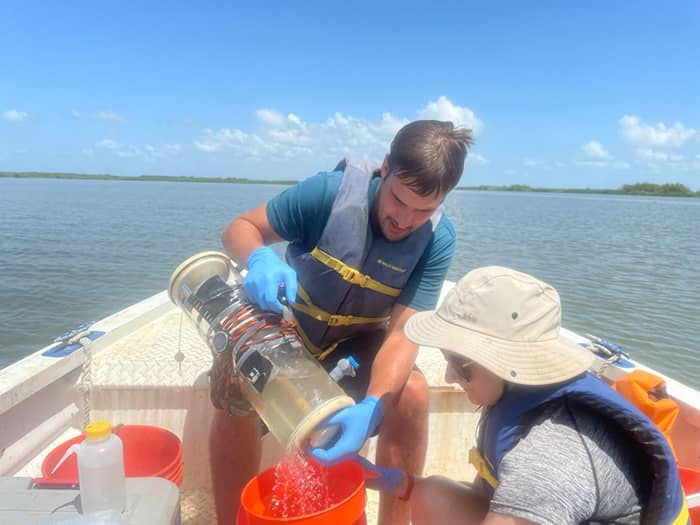 Gerard Salter and Madison Douglas collect vertical sediment profiles
Later, around 1:30pm, the JPL and UNC teams joined effort with the Island Team for a party-of-3-ADCP-fest to simultaneously measure river flow from the north of Wax Lake Outlet near the intracoastal, downstream at the Apex of the Wax Lake Delta, to channels along the sides of Mike island. A great dataset to directly relate AirSWOT measurements of water surface slope to river discharge at multiple points along the channel.
The Water Quality Team surveyed sediments and reflectance along the Wax Lake Outlet, the delta apex, and main channel to Calumet. The team was able to follow the northward progression of AVIRIS-NG’s vegetation flights. The Vegetation Team led by FIU’s Edward Castañeda collected vegetation samples, root and soil cores as well as Liviu’s ‘historical’ 6-meter deep cores at Delta-X’s intensive site 322. That’s a lot of soil accretion history!