< Blog
August 21, 2021
AirSWOT takes flight!
By Marc SimardAirSWOT flew today, performing its flight prouesses (prowess). It measured water surface elevation 3 times along 7 different imaging tracks as field teams simultaneously recorded ADCP transects (i.e. river discharge measurements).
While the UNC team got a late start (~9:30am) due to a no-show boat pilot, it joined the JPL team to conduct a combined total of 14 pairs of transects along the Atchafalaya and Intracoastal Waterway today. Some pairs were 1-hour long! A very early start for these two teams that arrived at the marina by 6:15am.
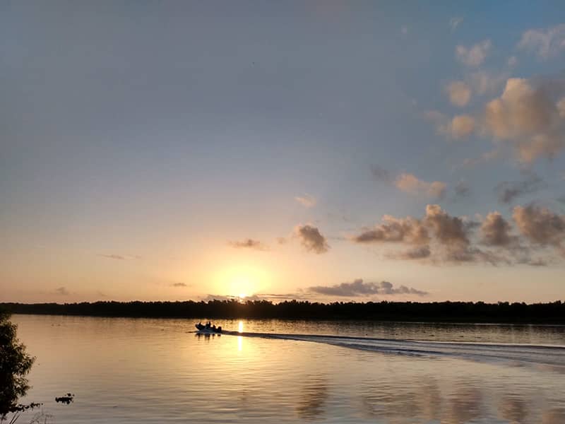
 Alexandra Christensen leads the JPL team at sunrise (photo credit: John Mallard)
This morning, we had to postpone and later cancel planned AVIRIS-NG flights over the Atchafalaya basin. Early this morning our Delta-X meteorologist, with the first satellite images coming in, warned of cumulus clouds starting to form earlier than previous days. Pictures from field teams confirmed updated forecast and unfortunately clouds cover increased as the day progressed. At some point, the skies over Mike Island were clear, keeping the Island team hopeful. Most of the region, however, was peppered with clouds on the move. AVIRIS-NG never came.
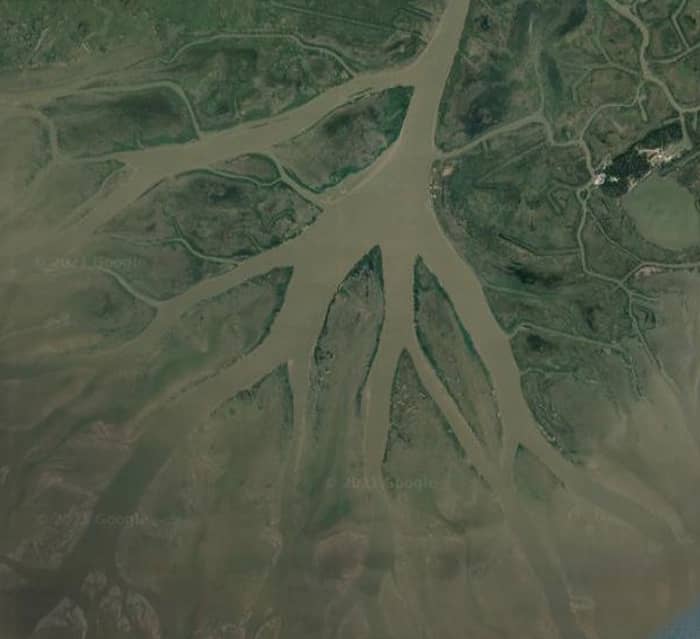
 The team will continue to collect data over the Wax Lake Delta
Nevertheless, the Water Quality Team surveyed sediments of the Wax Lake Outlet, the delta apex, bayous and main channel up to Calumet. The Island Team collected depth profile at delta apex, center and edge of channel, and collected sediment profiles, ADCP, depth measurements. FIU’s Vegetation Team processed samples from the WLD.

