
< Blog
August 24, 2021
Hide & seek with the sun
By Marc SimardToday, both AirSWOT and AVIRIS-NG flew while 5 Delta-X teams were in the field.
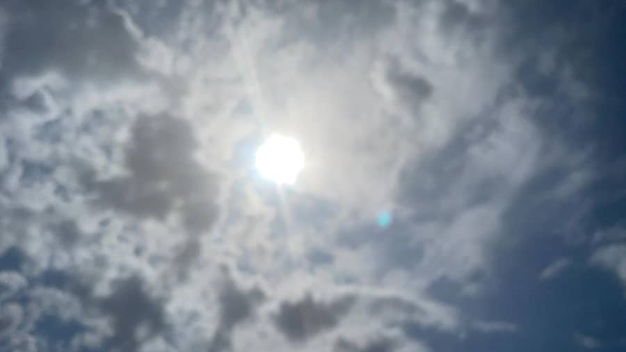 Sky when AVIRIS wants to collect data
 Sky when AVIRIS decides to land
While AirSWOT successfully collected 3 times its 6 flight lines, AVIRIS-NG was playing hide and seek with the sun. Nonetheless, it was an okay day given what is to come.
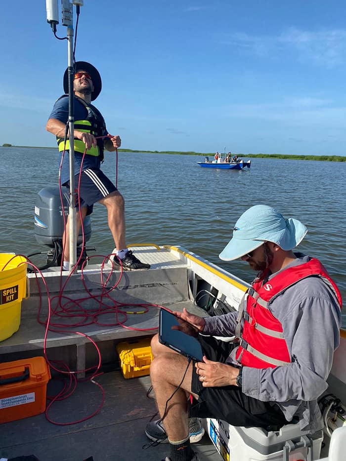 Cedric Fichot and Josh Harringmeyer collect water quality measurements (Photo credit: Zachary Vanderhider)
The Water Quality Team spent the day running under AVIRIS-NG flight path, trying to gather sufficient information to generate models that can translate, among other things, AVIRIS-NG spectra into total and vertical distribution of suspended sediment. In addition to these water quality measurements, ENCOS/CPRA collected additional samples simultaneously to AVIRIS-NG overflights within the Eastern edge of Terrebonne Bay.
The Vegetation Team collected data around Delta-X Intensive site 421. Remember that Delta-X has 7 intensive study sites: Mike Island; 2568 the so-called forested site; 421, 396 and 294 that represent a salinity gradient in the Terrebonne basin; and finally sites 322 and 399 which are by Four League Bay near the boundary of the Atchafalaya and Terrebonne basins. The Vegetation Team, like in other sites, collected aboveground and belowground biomass, taking aerial pictures with their perched-GoPro. They also collected an 8-meter depth core at 421.
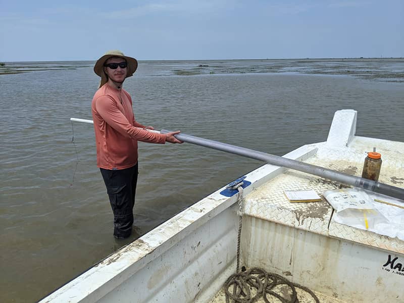 Kyle Wright (U. Texas) extrudes a core
The Island Team was in the Wax Lake Delta today to finalize measurement sets at Mike Island. The team collected transects of velocity measurements, bed samples in Greg pass, and cored and surveyed elevation along the island’s levees (i.e. edge). The bed samples serve to characterize the grain size distribution and composition of the river bottom. These data will help calibrate hydrodynamic models for transport, deposition and resuspension of sediment. Clearly, Delta-X is generating a golden dataset for delta formation for years to come.
The ADCP Team (JPL and UNC) roamed the region around site 421, collecting river discharge measurements as well as sonar transects to obtain local bathymetry.
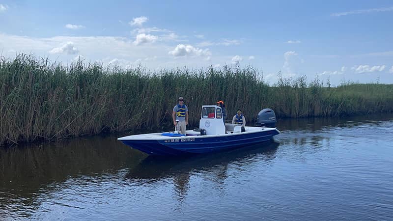 The JPL team collect river discharge and sonar measurements
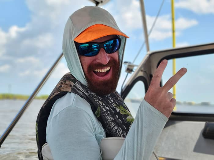 John Mallard (UNC) celebrates today’s data collection