
< Blog
September 3, 2021
UAVSAR takes flight!
By Marc SimardThis morning, AirSWOT and UAVSAR flew simultaneously the western side of the Terrebonne basin. AirSWOT repeated its 6-line-set three times. Remember that AirSWOT has been flying since August 21st over the Delta-X study domain, collecting a total of 108 data lines and reliably producing 15.73TB of science data.
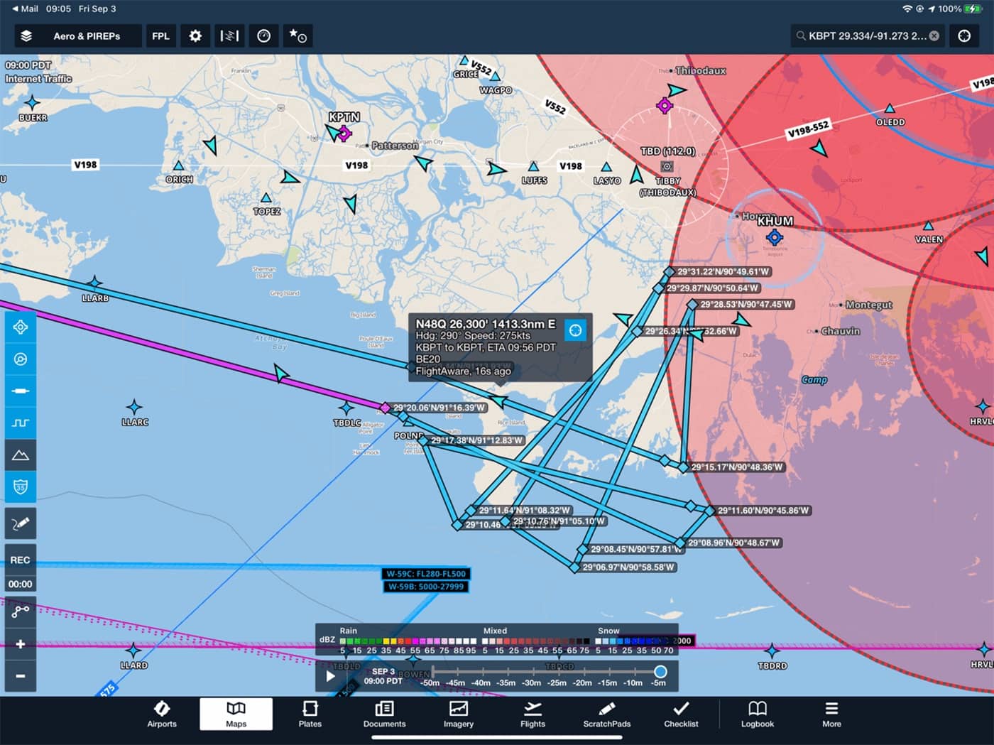 Today’s AirSWOT flight
Today, UAVSAR successfully executed its Delta-X flight pattern 7 times. UAVSAR even had time to collect an extra two flight lines over New Orleans dedicated to emergency response after Hurricane Ida.
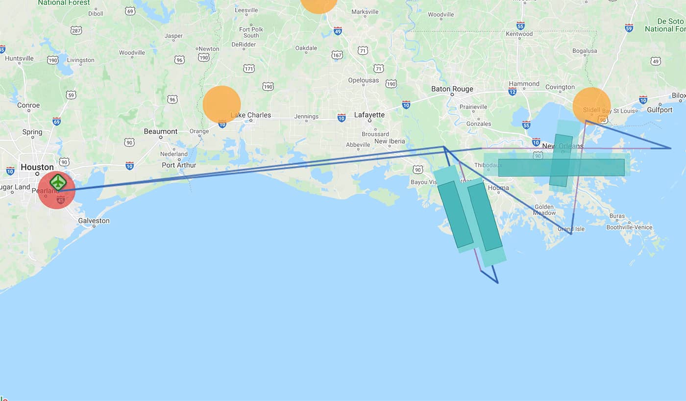 Today’s UAVSAR flight
Here is a UAVSAR quick-look image of the radar backscatter measured today that was produced by the onboard processor. The image covers Morgan city to the North down to Four Leagues Bay to the South. The full resolution data will have a ~5 meter pixel spacing.
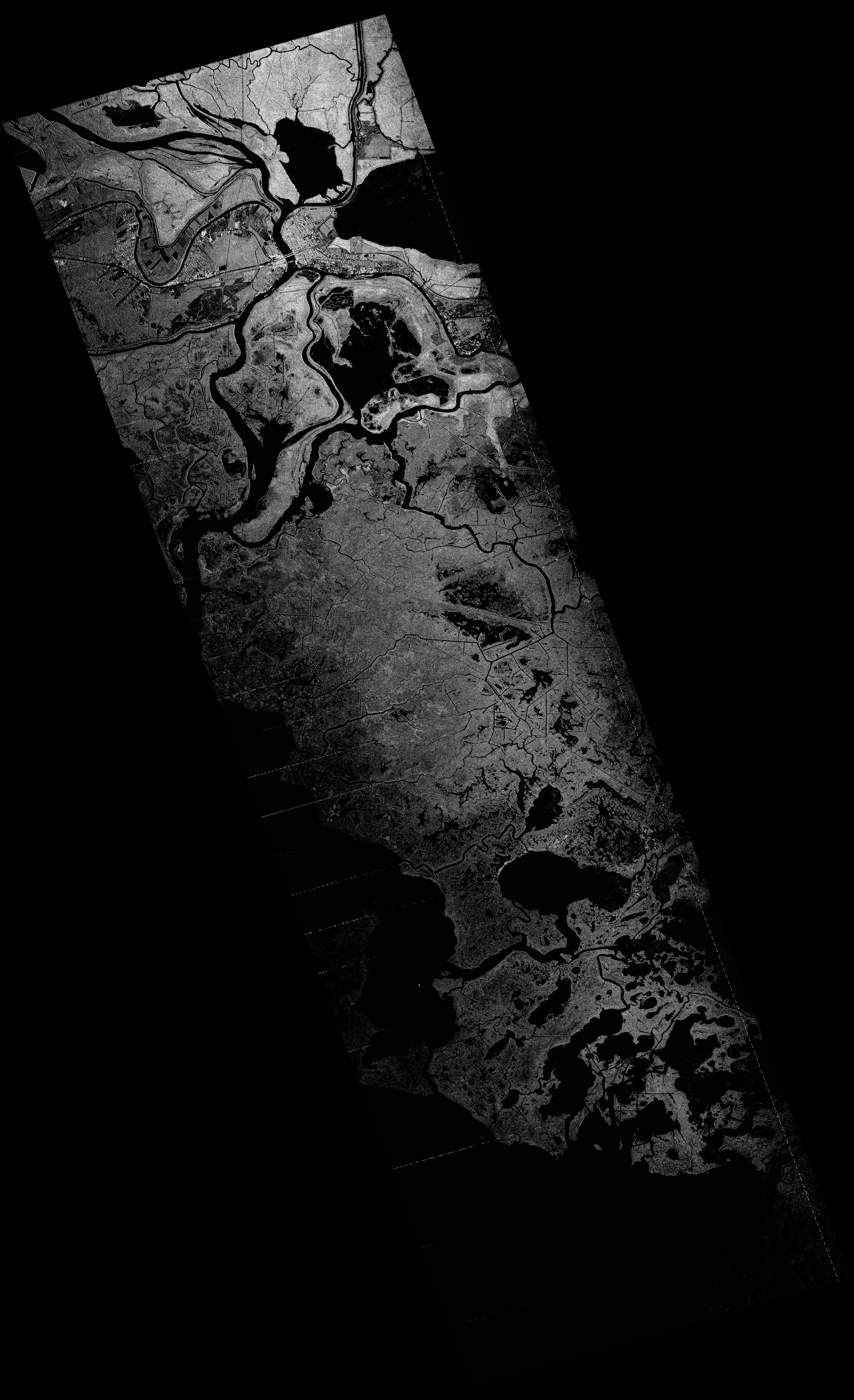 Quick-look UAVSAR image from today's flight over the Terrebonne Basin (click to see full-res)