
< Blog
September 1, 2021
Obstacle course
By Marc SimardToday was an eventful day for Delta-X flight crews beginning with a 7am (CT) Go-No-Go briefing. As storms were forecasted to move slightly off-shore, AirSWOT and UAVSAR took off from their base in Texas to simultaneously fly over the East Terrebonne wetlands and measure the hydrology of the system as the tide receded.
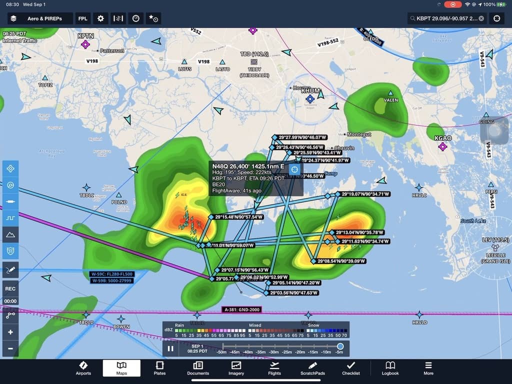 AirSWOT’s flight plan crisscrossing the stormy skies
However, the thunderstorms did not behave as planned. Both aircraft had to dodge thunderstorms for a few hours. Even UAVSAR had to dodge them at 41,000 ft. AirSWOT was only able to fly nine lines and UAVSAR flew two of the Delta-X flight lines before both aircraft aborted data collection. The thunderstorms just made it too hard to collect quality remote sensing data. However, UAVSAR was able to collect an extra two images to map damage to infrastructure and urban areas of coastal Louisiana. Results should be available soon.
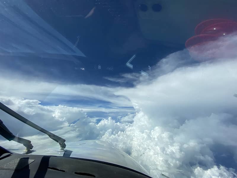 View from AirSWOT’s cockpit
AirSWOT needs minor, but important repairs in order to deal with more storms, and tomorrow is expected to be a similar day—albeit not as bad. Therefore, the Delta-X Team decided to cancel tomorrow’s flights and resume on Friday with hopefully more conducive weather. We are modifying the flight schedule accordingly with upcoming flights focusing on the Terrebonne region. Delta-X will most likely fly the Atchafalaya basin toward the end of next week.
Finally, remember that AVIRIS-NG will return to coastal Louisiana to assess hurricane damage in wetlands from September 14–24. As such, and given current logistical issues on the ground, the Water Quality Team (Boston U.) has decided to retreat to Boston for a couple weeks before returning to Louisiana and collect in situ measurements coinciding with AVIRIS-NG flights. They will join the ADCP teams (JPL and UNC) that should arrive around September 20th to retrieve the water level gauges and collect a few additional ADCP transects.